Validating Surfaces
Highlights
Validating surface integrity is essential to ensure that mine plans align with design constraints and field data, reducing rework and improving confidence in operational decisions.
- Reliable model alignment: MiningMath compares surfaces numerically and visually with reference topographies, enabling early validation as part of its integrated single-step optimization.
- Error prevention in geometry: Deviations are flagged before execution, avoiding downstream issues. Surface checks are embedded alongside constraint tuning.
- Credibility for decision-making: Based on peer-reviewed methods and global use, MiningMath’s validation supports internal approval processes and scripted scenario testing via API.
The best way to generate surfaces is by using a topography surface created by MiningMath, which is created after the Data Validation, then manipulating only the Z coordinates. Make sure to meet all the surface requirements disclosed here.
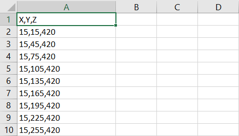
Headers must be named as X, Y, and Z. These files have to obey an ascending value order in each one of the axes.
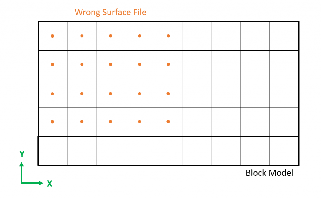
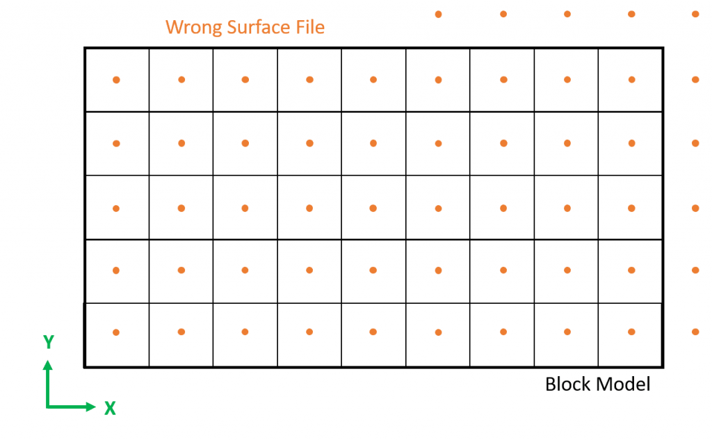
Same size of the block model, item 1.1 of this page explains it.
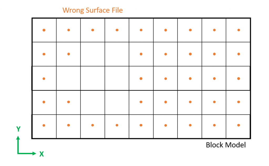
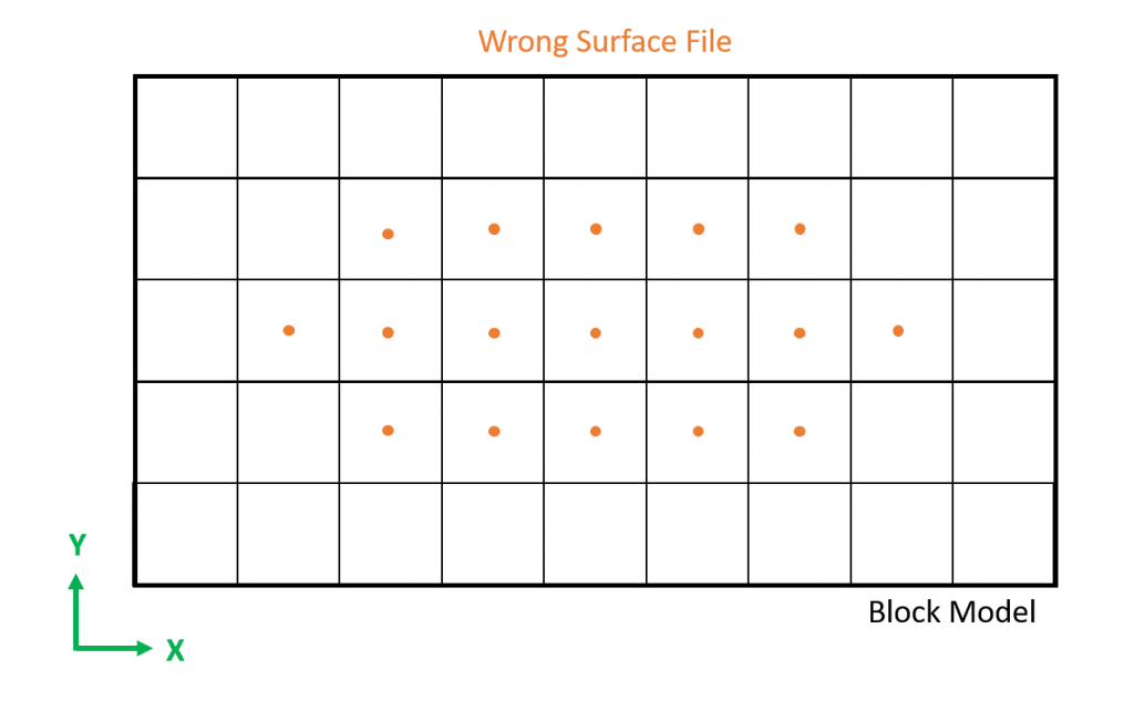
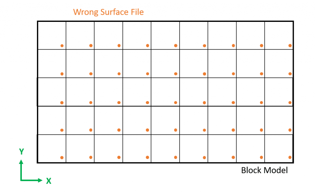
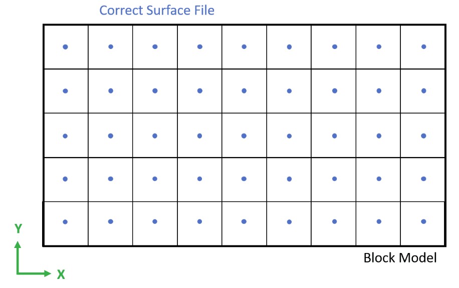
Its points must be aligned with blocks' centroids, items 1.1 and 1.2 help you to understand it.
Defined as a grid of points, the visual validation, item 1.2 shows it.
To be in the CSV format.
By using the values of a Marvin Deposit file in Figure 2, we find the Block model centroids boundaries which begin at XMin=15; YMin=15 and has the maximum centroid value of XMax=5,295; YMax=8,265, which could be confirmed by checking the topography generated by MiningMath.
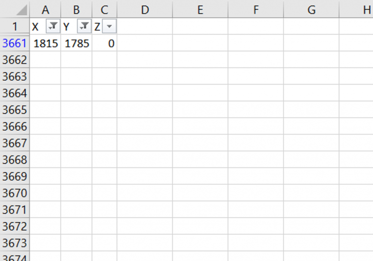
Then, its time to search for your surface limits, at this example the file chosen was “Surface-RM-offset-300m”. The easy way to find it, is by filtering the axis values, as shown in Figure 3, which disclosed XMin= 15; YMin=15 and XMax= 1,815 and YMax= 1,785. Therefore, even though this file was also based on Marvin Deposit, it is not possible to use it since the surface smaller than the block model in place, which means that it does not have the same size as the block model file.
It is always worthwhile to check the limits of the designed surface (Figures 4 to 8) if we face an error. Remember that everything, even elevations, must be in the boundaries of the block model and check the recommendations for your surface.
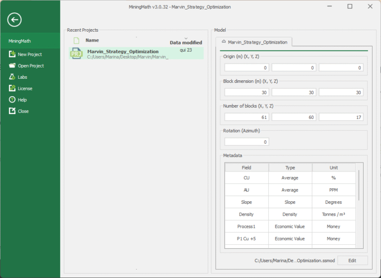
The centroids maximum limit by using the equation for each axis:
Maximum centroid value = OX + (NX*DX)-(DX/2)
Where:
OX is the origin of the X-axis;
DX is the block dimension of the X-axis;
NX is the number of blocks in the X-axis.
Note: (DX/2) is related to the distance which should be summed on the origin to find the centroid of the first block, or reduced at the block model limit to find the last centroid, since origins are based on the corner of the block model.
The following video presents how to validate surfaces numerically and visually. This initial verification is what enables you to understand what might be happening and where the error is. The example used regards to the message: “Error parsing surface: Coordinates aren’t properly spaced” but it fits any case where the surfaces used are causing a problem, especially when a red box error shows up.
In this case, as there are a lot of values that do not match the correct ones for X and Y, the quicker and easier way to fix it is restarting from the beginning.
Video 1: Validating surfaces.
Common Issues
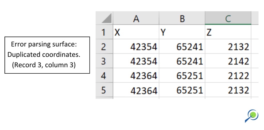
- Error parsing surface: duplicated coordinate
If this message appears, it’s possible that your surface file contains more than one elevation for the same coordinate. Please check the CSV file.
